
--:--
Live · South Florida
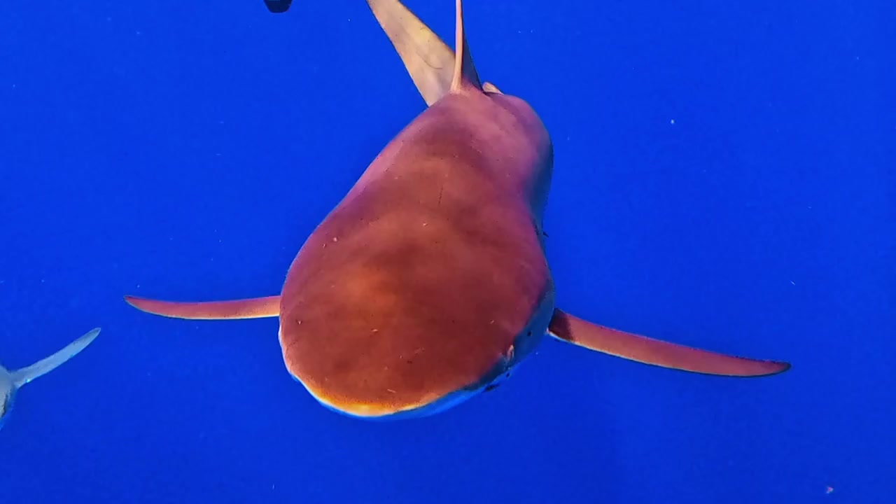
26°56′40″N · 80°04′12″W · Jupiter Inlet
Read the water.
Real-time ocean conditions for the four stations divers actually use along the South Florida Atlantic shelf.
Conditions
Six stations. Two reefs. Watched in real time.
Wave height, period, wind, water + estimated bottom temp, and modeled visibility pulled from NOAA tide gauges and Open-Meteo marine models. Two charts: Palm Beach County on top, Florida Keys below. Tap a station for the full forecast and trusted local operators.
Instruments
Six planners. Built by a diver who uses them.
Free, no sign-up, no ad tech. Just the calculations you actually run before a dive.
- I Nitrox Planner MOD · BEST MIX · EAD Plug in O₂%. Get MOD. Know your limits.
- II Decompression BÜHLMANN ZH-L16C · GFlo / Hi Plan a single dive to 60m. Get a stop schedule.
- III Gas Planning ROCK BOTTOM · SAC · TURN Calculate how much gas you actually need.
- IV Weight Calculator WETSUIT · FW / SW · TRIM Stop guessing. Get a starting weight.
- V Hollis Prism 2 Checklist eCCR · PRE-DIVE · BAILOUT · POST Unit-specific checklist for the Hollis Prism 2 only.
- VI Computer Setup PERDIX · MK2I · DECO MODES How to actually configure your dive computer.